Industries / Construction and property
Heavy civil
Heavy civil construction builds the large public works that carry traffic and hold back water: roads, bridges, tunnels, ports, canals, dams and levees.
312 BC
Rome began the Via Appia, a road that grew to more than 800 km, with bridges, drainage and land reclamation along it, under Appius Claudius Caecus, a censor, one of Rome's senior officials. UNESCO, which made it a World Heritage site in 2024, calls it the oldest and most important of the great Roman roads.
45
Milestones achieved across 7 domains.
14
To watch for: announced, not yet confirmed outside.
13
Open deliverables. Nobody has shipped them.
In one minute
Where it started
Some of the oldest known public works are dams and harbors. Egyptian builders raised the Sadd el-Kafara dam about 2600 BC, and a flood destroyed it before it was finished. Rome began the Via Appia in 312 BC. John Smeaton gave civil engineering its name around 1760, and the Institution of Civil Engineers was founded in London in 1818.
Where it stands
Dozers and excavators now follow 3D models by GPS, and tunnel boring machines dig tunnels as long as the 57 km Gotthard Base Tunnel. The US has inspected its bridges on a fixed schedule since 1971, after a fatal collapse, and Japan has required close-up checks of every road bridge since 2014. The International Commission on Large Dams lists 62,362 large dams worldwide. In 2025 the American Society of Civil Engineers graded US infrastructure C overall and gave dams and levees a D+, and economists Austan Goolsbee and Chad Syverson report a decades-long fall in US construction productivity.
What is open
Most of the open work is checking. AI models can now read plans, reports and photos, and free satellite data covers dams, levees and coastlines, but few public tests show how well either does the job. Open jobs include answer keys for AI that reads bridge plans, design examples and tunnel-collapse reports; crack widths measured from photos; a dam-by-dam table of movement from free radar data; maps of missing levees; a monthly tracker of port reclamation; and filmed tests of small robot excavators. Most can be done at a desk, in a lab or in a sandbox, without going onto a site.
Domains
AchievedWatch forOpen
Domain
Progress
Last achieved
Watch for
Open
Surveying and earthmoving
Surveying measures and marks the ground, and earthmoving digs, carries and shapes soil and rock to the levels a design calls for.
6 · 2 · 2
Last achievedMachines follow 3D models2013
Watch forExcavators with empty cabs
2
openRoads and paving
Road building prepares a firm, drained base and lays a hard surface on it that carries traffic and sheds water.
6 · 1 · 2
Last achievedOld roads into new roads2024
Watch forA driverless road roller
2
openIn depthPaving
Bridges
Bridge building designs and puts up the structures that carry roads and railways over rivers, valleys and other roads.
6 · 2 · 2
Last achievedA 2,023 m main span2022
Watch forMessina Strait Bridge
2
openInspection and repair
Inspection checks roads, bridges, tunnels and dams that are in service, and repair fixes the damage that age, water, salt and traffic cause.
6 · 2 · 2
Last achievedDrones fly beyond sight2020
Watch forAI headsets for steel cracks
2
openTunnels
Tunneling digs passages through ground or rock, or under water, and lines them so that they stay open and dry.
7 · 2 · 2
Last achievedA 57 km base tunnel2016
Watch forFehmarnbelt immersed tunnel
2
openIn depthTunneling
Ports and dredging
Port and channel work builds harbors, quays and breakwaters, and digs channels deep enough for ships, often by dredging, which is digging under water.
7 · 2 · 1
Last achievedOutsiders measure dredging worldwide2023
Watch forAn automated harbor dredger
1
openIn depthDredgingMarine construction
Dams and flood control
Dam and flood work builds dams, levees and barriers that store water or hold back floods, and the spillways that let floodwater past safely.
7 · 3 · 2
Last achievedOroville's spillway breaks apart2017
Watch forSatellite radar watches dams
2
open
Other narrower industries
Asphalt productionDirectional drilling
Figureheads
5 people

John Loudon McAdam
1756–1836
He showed that a road of small, angular broken stone laid on dry, drained ground would carry traffic, and his method, macadam, was taken up across Britain and abroad.
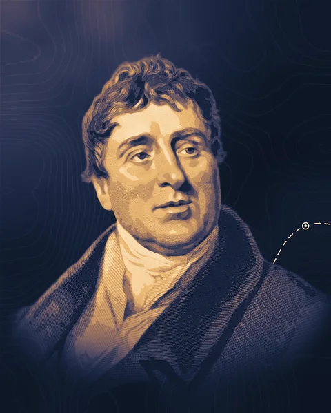
Thomas Telford
1757–1834
A stonemason who became the engineer of Britain's longest roads, its iron aqueducts and the Menai suspension bridge, and the first president of the Institution of Civil Engineers.
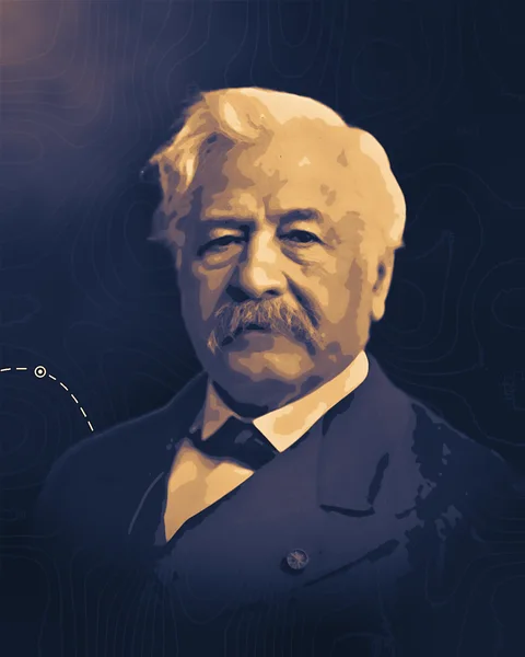
Ferdinand de Lesseps
1805–1894
A French diplomat who won the concession, raised the money and drove the building of the Suez Canal, then led the failed French attempt at Panama.
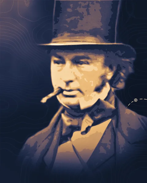
Isambard Kingdom Brunel
1806–1859
An engineer who argued that bigger steamships would cross oceans more cheaply, then built a steamer for a regular run to New York and the iron, propeller-driven Great Britain.
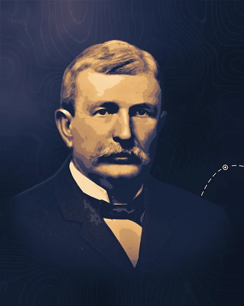
Benjamin Holt
1849–1920
His Stockton company built the first practical track-type tractor, a crawler that spread from soft farm ground to earthmoving and road building.
Advances to build with
2 research notes

Claude Fable 5.2
Three working devices
Anthropic says its AI model Claude Fable 5.2 designed three prototype devices that worked without electrical modifications, with no outside test reported.

NVIDIA GR00T 2
Five demonstrations per task
By NVIDIA's own test, its robot model GR00T 2 averages 95% success after five demonstrations of a task, on 50 tasks picked from those it learns that way.
Open in heavy civil
3 of 13 open deliverables
Open · Surveying and earthmoving
Plan sheets to machine models
A tool that reads a road project's PDF plan sheets and writes the finished ground surface as a LandXML file, the open format that GPS machine control loads. The sheets are the plan view, the profile (the road's up-and-down line) and the typical cross sections. Test it on 300 m stretches of five real projects.
Built with what exists
Agency plan sets that also come with the designer's own surface file, to score against (the presentation lists "XML of proposed surface if available"); AI models that read drawings and tables, such as Claude Fable 5.2 (see the Note "Three working devices") or Gemini; Python to write LandXML; CloudCompare to compare surfaces. AI models that read drawings, not only text, are what bring this within reach of a small team.
Open · Roads and paving
Road condition answer key
A public table that pairs official road-condition ratings with street photos taken close to the rating date, across several cities, and scores AI models against it. The rating is the pavement condition index (PCI), a 0 to 100 score that inspectors give a road section.
Built with what exists
City open-data PCI tables, starting with San Francisco's; street images from Mapillary or the builder's own phone; the ASTM D6433 survey procedure for hand checks; AI models that read images, such as Claude Fable 5.2 (see the Note "Three working devices"), Gemini or the open Gemma models, or a model built to answer fixed-choice questions in bulk, such as Gemini Decision 1 (see the Note "A thousand questions, one pass").
Open · Bridges
Bridge plans read by AI
A hand-keyed answer key from 50 sets of bridge plans, with about 10 facts per bridge that also appear in the US National Bridge Inventory (NBI): number of spans, longest span, total length, deck width, main material, structure type and year built. Score two AI models that read images on the scanned sheets, and list every place where the NBI record disagrees with the plans.
Built with what exists
General AI models that read drawings and text together, such as Claude Fable 5.2 (see the Note "Three working devices") or Gemini, which turn this from a custom training project into a small-team job; Tesseract OCR as a plain baseline; PyMuPDF to split plan sets into sheets; FHWA's public NBI files; Python.