Industries / Transport and vehicles
Maritime and shipping
Maritime shipping is the work of carrying goods across seas and oceans in cargo ships, along with the navigation, crews, container terminals and paperwork that get each load from one port to the next.
1818
In January 1818 the Black Ball Line began sailing ships between New York and Liverpool on set days each month, whether or not their holds were full; the South Street Seaport Museum calls it "the first regular transatlantic ship service.".
46
Milestones achieved across 7 domains.
13
To watch for: announced, not yet confirmed outside.
14
Open deliverables. Nobody has shipped them.
In one minute
Where it started
Ships carried goods for trade for thousands of years, but they usually sailed only when their holds were full. In 1818 the Black Ball Line began sailing between New York and Liverpool on fixed dates, the way container lines still publish their services. Iron hulls, propellers and diesel engines followed between the 1840s and 1912, and in 1956 the Ideal X carried 58 containers from Newark to Houston, the start of container shipping.
Where it stands
By UNCTAD's count, ships carried 12,720 million tons of goods in 2024, 2.2 percent more than in 2023. Measured in ton-miles (tons times miles carried), trade grew 5.9 percent, because many ships sailed around Africa to avoid attacks in the Red Sea. On 1 January 2025 the world fleet had 112,500 commercial ships, and UNCTAD counts 1.9 million seafarers. Most ships still burn oil: in May 2025, 8 percent of active fleet tonnage, but 53 percent of tonnage on order, was designed for other fuels, and the International Maritime Organization's global carbon rules had not been adopted as of November 2026.
What is open
Much of the checking in shipping is still done by eye or by hand. Pilots judge rope ladders by eye before climbing them, dockworkers remove twistlocks by hand under the cranes, navigational warnings reach ships as text, and only about 11 percent of bills of lading are issued electronically, by the count of the carriers' standards body DCSA. Several numbers that rules and contracts depend on, such as the fuel that sails save, whether ships at berth use shore power, and how often container ships arrive on time, have no open, independent measure. Most of these jobs need cameras, public data and small AI models, not new ships.
Domains
AchievedWatch forOpen
Domain
Progress
Last achieved
Watch for
Open
Ships and propulsion
Naval architects, shipyards and engine makers design and build cargo ships: the hull, the engines that push it through the water, and the fittings that hold cargo in place.
6 · 2 · 2
Last achievedRecycling treaty takes force2025
Watch forAmmonia engine goes to sea
2
openFuel and emissions
Shipowners, fuel suppliers and regulators decide what ships burn and set limits on what they may release into the sea and the air: oil, sulfur, nitrogen oxides and carbon dioxide.
7 · 2 · 2
Last achievedEurope prices ship carbon2024
Watch forA global carbon price vote
2
openNavigation
Navigation is the work of knowing where the ship is and steering it safely past land, shallow water and other ships.
7 · 2 · 2
Last achievedSatellite positions get jammed2025
Watch forCrewless coastal ships in service
2
openContainer terminals
A container terminal moves boxes between ship, yard, truck and train: quay cranes lift containers on and off ships, yard machines stack and fetch them, and gate checks let trucks in and out.
5 · 1 · 2
Last achievedDockworkers cap automation2024
Watch forCranes that work over ships
2
openIn depthPorts and terminals
Routes and schedules
Route planning decides which ports a ship calls at, in what order and on what dates, and which canals and straits it passes through; container lines publish these as fixed schedules and often share ships with rivals in alliances.
7 · 2 · 2
Last achievedAlliance measured on timekeeping2025
Watch forGemini returns to Suez
2
openCrew and safety
Crew and safety covers the people who work on cargo ships and the rules, training and equipment that keep them and their ships safe.
7 · 2 · 2
Last achievedAttacks in the Red Sea2023
Watch forSeafarers named key workers
2
openCustoms and documents
Every container travels with paperwork: the bill of lading (the carrier's receipt for the goods, evidence of the contract to carry them, and the document of title that lets its holder claim them), customs declarations that give each product a tariff code, and the forms a ship files at each port call.
7 · 2 · 2
Last achievedPort forms go digital2024
Watch forEvery bill electronic by 2030
2
open
Other narrower industries
Barge and inland waterwaysOffshore supply vesselsMarine salvageShip chandleryTugboats and harbor pilots
Figureheads
5 people
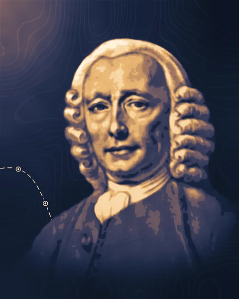
John Harrison
1693–1776
A Yorkshire carpenter turned clockmaker who built the first timekeepers accurate enough at sea for a ship to find its longitude by the clock.
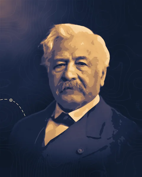
Ferdinand de Lesseps
1805–1894
A French diplomat who won the concession, raised the money and drove the building of the Suez Canal, then led the failed French attempt at Panama.
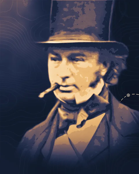
Isambard Kingdom Brunel
1806–1859
An engineer who argued that bigger steamships would cross oceans more cheaply, then built a steamer for a regular run to New York and the iron, propeller-driven Great Britain.
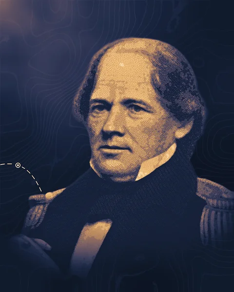
Matthew Fontaine Maury
1806–1873
A US Navy officer who turned thousands of ships' logs into charts of winds and currents, and brought maritime nations together in 1853 to record weather at sea in one common way.
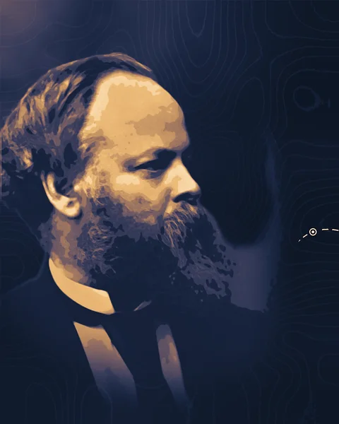
Samuel Plimsoll
1824–1898
A coal merchant and member of Parliament whose campaign against overloaded "coffin ships" made the load line, the mark that shows how deep a ship may sit in the water, compulsory in British law.
Advances to build with
2 research notes

NVIDIA GR00T 2
Five demonstrations per task
By NVIDIA's own test, its robot model GR00T 2 averages 95% success after five demonstrations of a task, on 50 tasks picked from those it learns that way.
Muse Ember
The jobs agents repeat
Meta's Muse Ember matched Claude Haiku 5.5 on an outside firm's tests at a third of the cost per task, though both list the same prices for text in and out.
Open in maritime and shipping
3 of 14 open deliverables
Open · Ships and propulsion
A register of lost containers
a public table with one row for every incident in which a ship lost containers overboard from 2010 to 2025: date, ship, IMO number, size in TEU, position, number of boxes lost, weather where reported, the cause given by investigators, and a link to each source. Ship designers, insurers and the crews who stow cargo could then see which ship sizes, routes and sea conditions lose boxes.
Built with what exists
investigation reports from national boards such as the Dutch Safety Board, Japan Transport Safety Board, UK Marine Accident Investigation Branch and Germany's BSU; the World Shipping Council's yearly totals as a cross-check; Copernicus Marine wave data to add wave height at each position; PyMuPDF to pull report text; a low-cost extraction model such as Meta's Muse Ember to fill the fields and quote the supporting sentence (Note: "The jobs agents repeat").
Open · Fuel and emissions
Wind savings from public data
an independent tally of how much fuel wind-assisted cargo ships (ships fitted with rotors, wing sails or suction sails) save in service, using only public data. For each ship, compare its yearly fuel use per nautical mile in the EU's public emission reports before and after the sails were fitted, and against sister ships without sails, correcting for speed and wind along its tracks.
Built with what exists
the EU MRV (monitoring, reporting and verification) emission reports in the European Maritime Safety Agency's THETIS-MRV system, which publishes a verified yearly report for each ship of 5,000 gross tonnage and up that calls at EU ports; makers' and owners' announcements to list which ships carry sails and when they were fitted; the Danish Maritime Authority's free historical AIS (ship-tracking) files for speeds; ERA5 wind data from the Copernicus Climate Data Store; Python with pandas and statsmodels.
Open · Navigation
Warnings as chart data
an open converter that reads a navigational warning in the standard text layout (the IHO's S-53 format, broadcast to ships by NAVTEX, a radio service that prints warnings aboard, and by satellite) and writes the same warning as S-124, the machine-readable format that newer electronic chart systems can draw as a shape on the chart. Every field it is unsure of is flagged for a person to check.
Built with what exists
the 88 worked examples in Annex B of the IHO's S-124 Data Capture and Encoding Guide (2023), each a text warning set beside its S-124 encoding, as a ready test set; the S-124 product specification; Python with lxml for validation and Shapely for shapes; positions parsed by fixed rules, not by a model; a low-cost extraction model such as Meta's Muse Ember for the remaining fields (Note: "The jobs agents repeat").