Industries / Figureheads
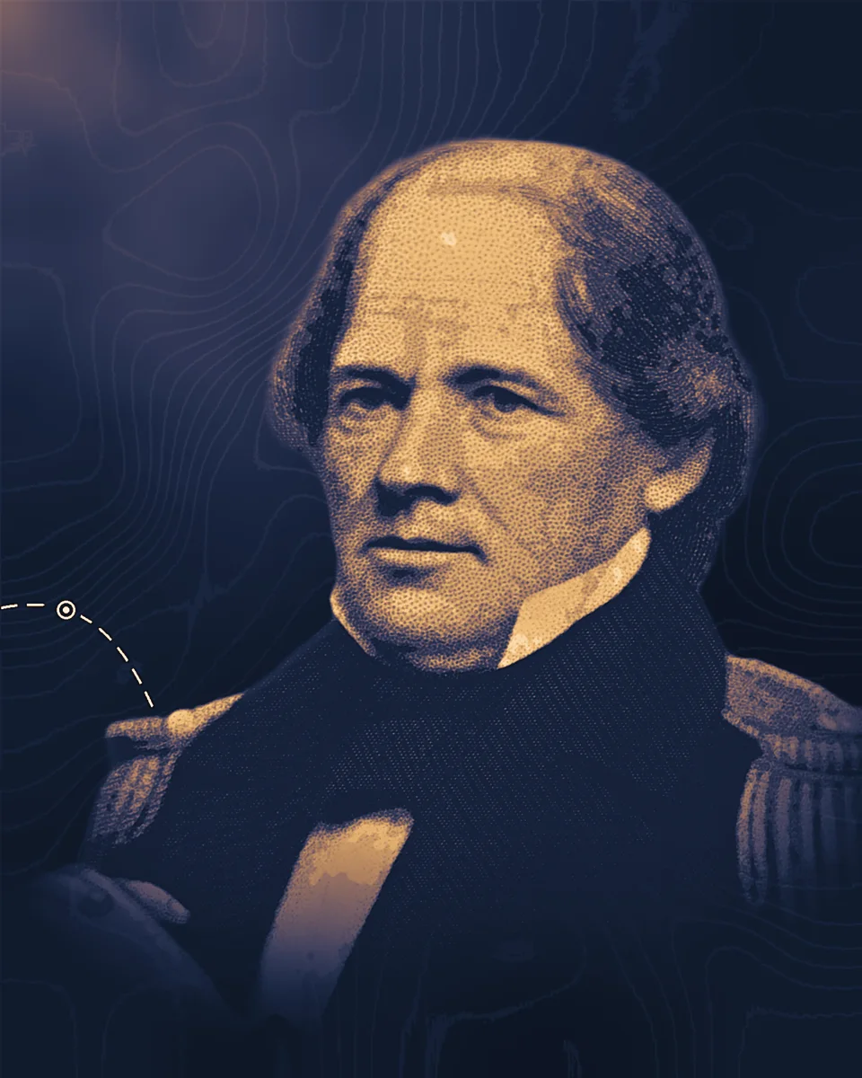
Matthew Fontaine Maury
A US Navy officer who turned thousands of ships' logs into charts of winds and currents, and brought maritime nations together in 1853 to record weather at sea in one common way.
1806–1873
What they changed
1842
Old logbooks become data
Maury became superintendent of the US Navy's Depot of Charts and Instruments in 1842, the forerunner of the US Naval Observatory. There he compiled the winds and currents recorded in ships' logs, urged captains to keep better records, and drew charts from what they sent.
1851
Winds charted by month
His Trade Wind Chart of the Atlantic Ocean (1851) shows where the trade winds and the calms of the doldrums lie, month by month, and his pilot charts give the prevailing winds for every 5-degree square of ocean. His 1859 chart of the Indian Ocean monsoons drew on 16,915 separate observations. HistoryNet reports that the routes he worked out cut some voyages by 30 days.
1853
Ships report the weather
At Maury's prodding, ten naval powers met in Belgium in 1853 and agreed to keep observations at sea in a uniform way and share them, in return for his charts. The World Meteorological Organization calls the Brussels meeting "the first international meteorological conference" and credits it to "the enterprise of a naval officer, Matthew Fontaine Maury." Merchant ships still send weather observations under the WMO's Voluntary Observing Ships scheme.
1855
A textbook of the sea
He published The Physical Geography of the Sea in 1855. The National Park Service says it is "considered today the first modern textbook of oceanography"; the Library of Congress calls it "perhaps" the first.
Life
Matthew Fontaine Maury was born near Fredericksburg, in Spotsylvania County, Virginia, on 14 January 1806. HistoryNet describes his parents as slaveholders who ran a struggling farm. He joined the US Navy at 19 and sailed around the world, but a stagecoach accident in 1839 left him unfit for service at sea.
The charts were built from other men's work. Their raw material was the logbooks of naval and merchant captains, and the nations at Brussels agreed to send their ocean data to the Naval Observatory in return for his charts. In 1856 a navy board retired Maury with other officers at a stroke; he fought the decision and kept his commission.
His record on slavery is disputed. In the early 1850s he studied sending enslaved people from the United States to the Amazon basin of Brazil; the Library of Congress presents the plan as a way to phase slavery out, while HistoryNet describes his aim as spreading slaveholding into an "American Mediterranean" that took in Cuba and Brazil. The plan came to nothing.
When Virginia seceded in 1861 he resigned from the US Navy and became a commander in the Confederate navy. He worked on coastal defences and on naval mines, which HistoryNet says sank some 55 Union ships, and from 1862 he was in Europe trying to win support and ships for the Confederacy. After the war he proposed to the Emperor Maximilian of Mexico a colony of former Confederates, which HistoryNet calls a plan for "a slaveholding settlement"; it failed.
In 1868 he became professor of meteorology at the Virginia Military Institute in Lexington, where he died on 1 February 1873. In 2020 the mayor of Richmond had the city's Confederate monuments taken down, Maury's among them.
Read more
5 accounts
The Physical Geography of the Sea, Matthew Fontaine Maury, 1855.
His own book on winds, currents and the ocean floor; the copy linked is a later edition.
archive.org
A Life of Matthew Fontaine Maury, Diana Fontaine Maury Corbin, 1888.
The life by his daughter, with his letters.
archive.org
Matthew Fontaine Maury, Scientist of the Sea, Frances Leigh Williams, Rutgers University Press, 1963.
The full modern biography.
archive.org
Scientist of the Seas: The Legacy of Matthew Fontaine Maury, Tim St. Onge, Library of Congress, 2018.
The library's account of his charts, with images of them.
blogs.loc.gov
The Complicated Legacy of Matthew Maury, the "Scientist of the Seas", Sarah Richardson, HistoryNet, 2021.
The science set beside his work for slavery and the Confederacy.
historynet.com